Many of Scotland's busiest streets are breaking EU laws on air pollution
Friends of the Earth has analysed UK government data to create a list of Scotland’s most polluted streets.
It is calling on the Scottish Government to halt new unnecessary road developments, invest more in walking and cycling, and improve public transport instead of waiting for improvements in vehicle technology to solve the problem.

1. Hope Street, Glasgow (66 microgrammes nitrogen dioxide per cubic metre)
Image: Google Street View
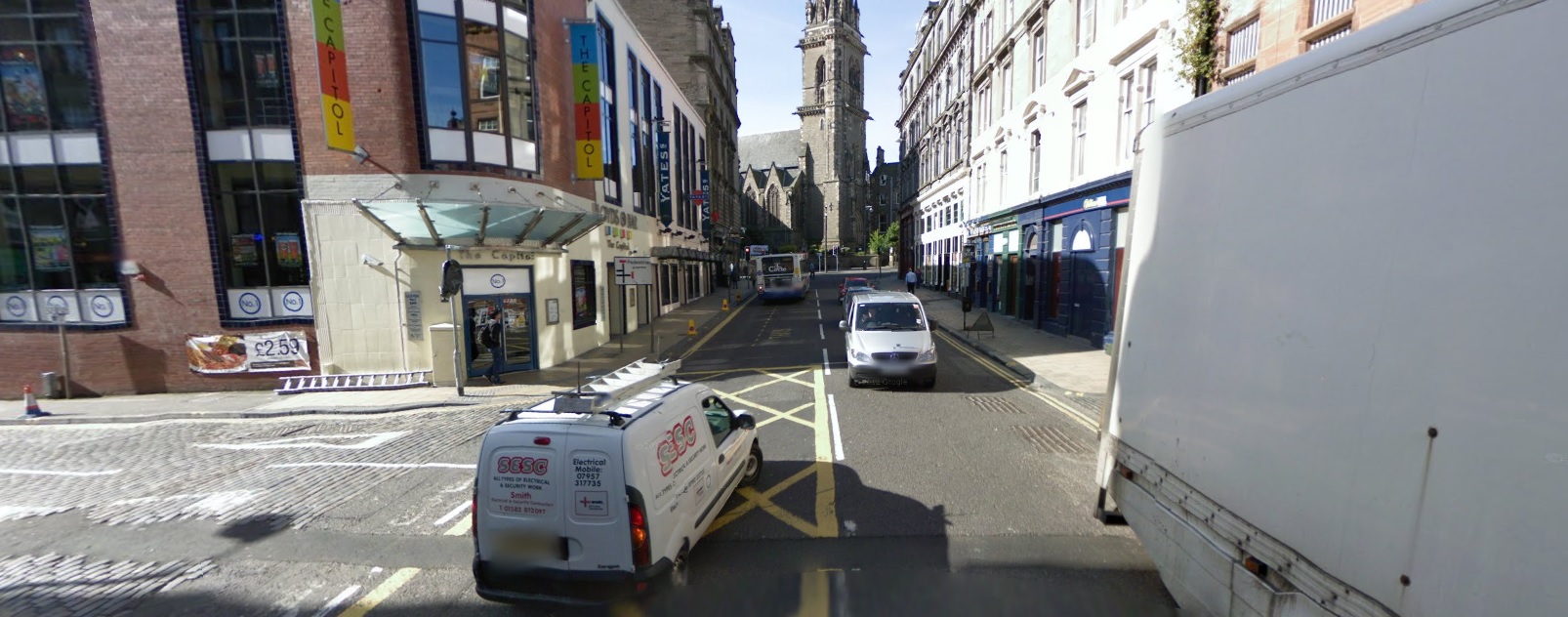
2. Seagate, Dundee (59 microgrammes nitrogen dioxide per cubic metre)
Image: Google Street View

3. St John's Road, Edinburgh (57 microgrammes nitrogen dioxide per cubic metre)
Image: Google Street View
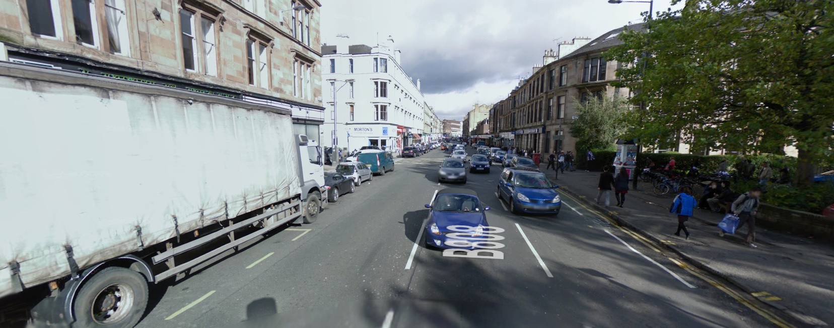
4. Byres Road, Glasgow (54 microgrammes nitrogen dioxide per cubic metre)
Image: Google Street View
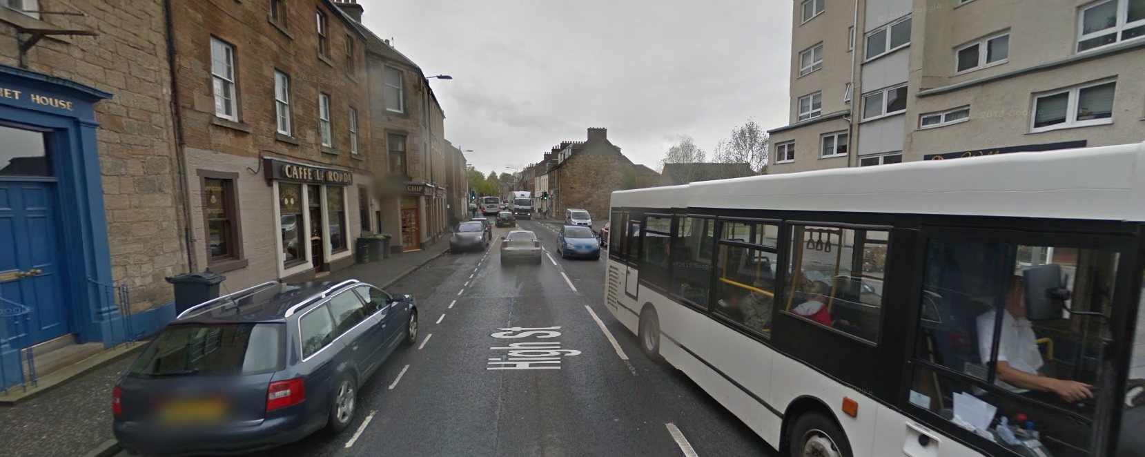
5. High Street, Linlithgow (48 microgrammes nitrogen dioxide per cubic metre)
Image: Google Street View

6. Lochee Road, Edinburgh (46 microgrammes nitrogen dioxide per cubic metre)
Image: Google Street View
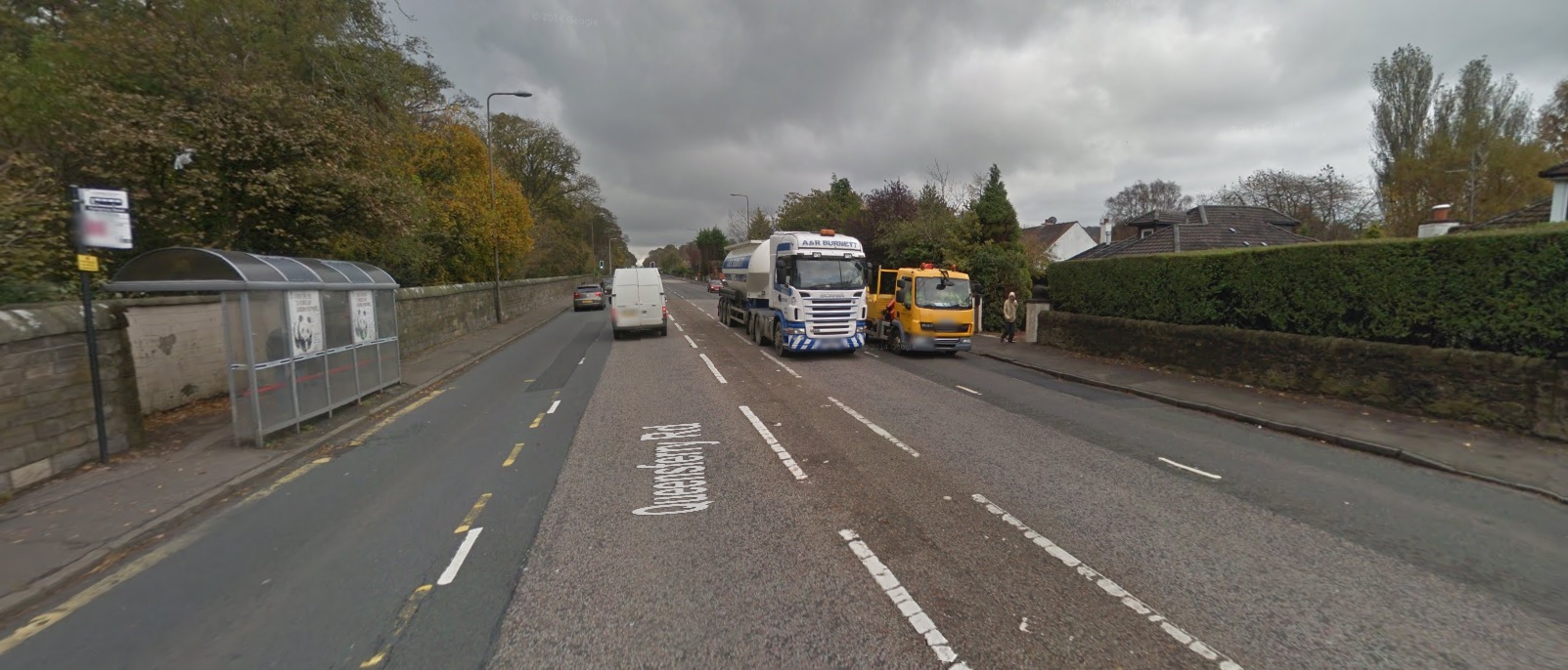
7. Queensferry Road, Edinburgh (46 microgrammes nitrogen dioxide per cubic metre)
Image: Google Street View
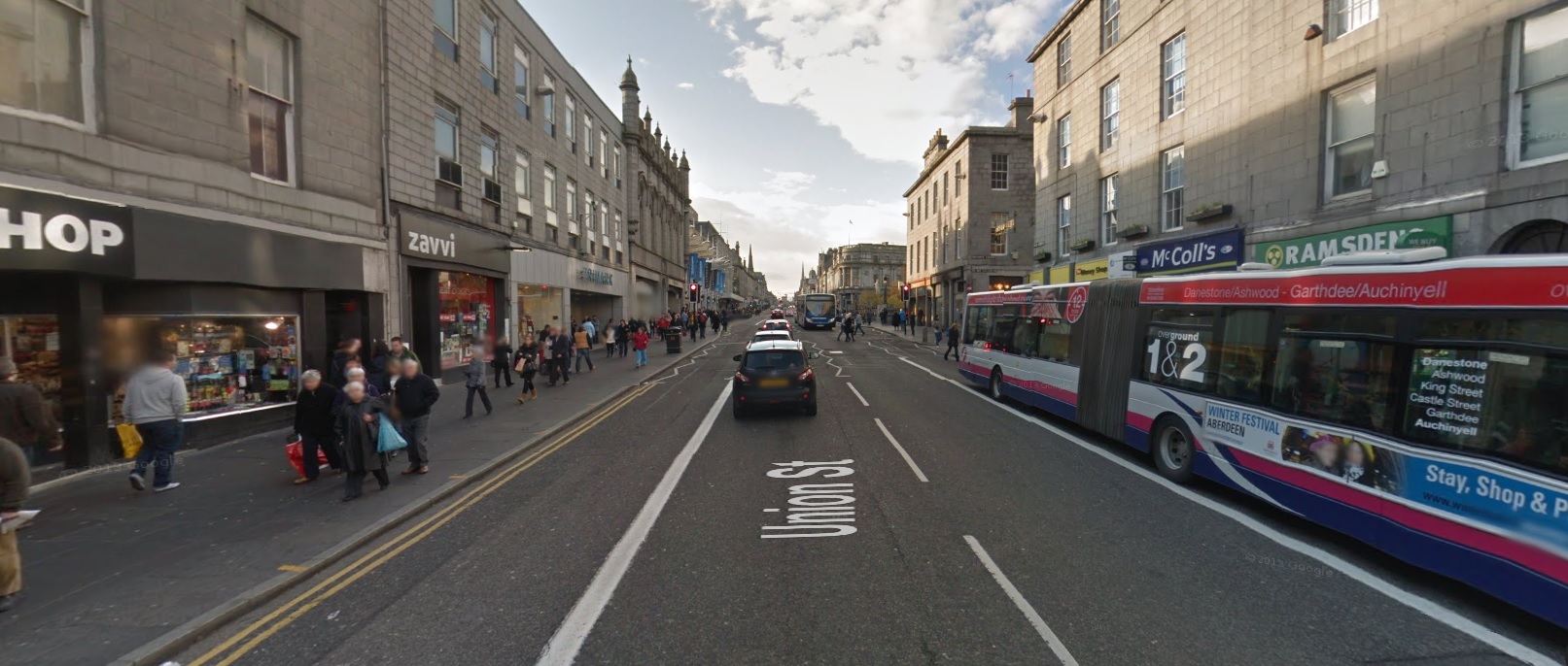
8. Union Street, Aberdeen (46 microgrammes nitrogen dioxide per cubic metre)
Image: Google Street View
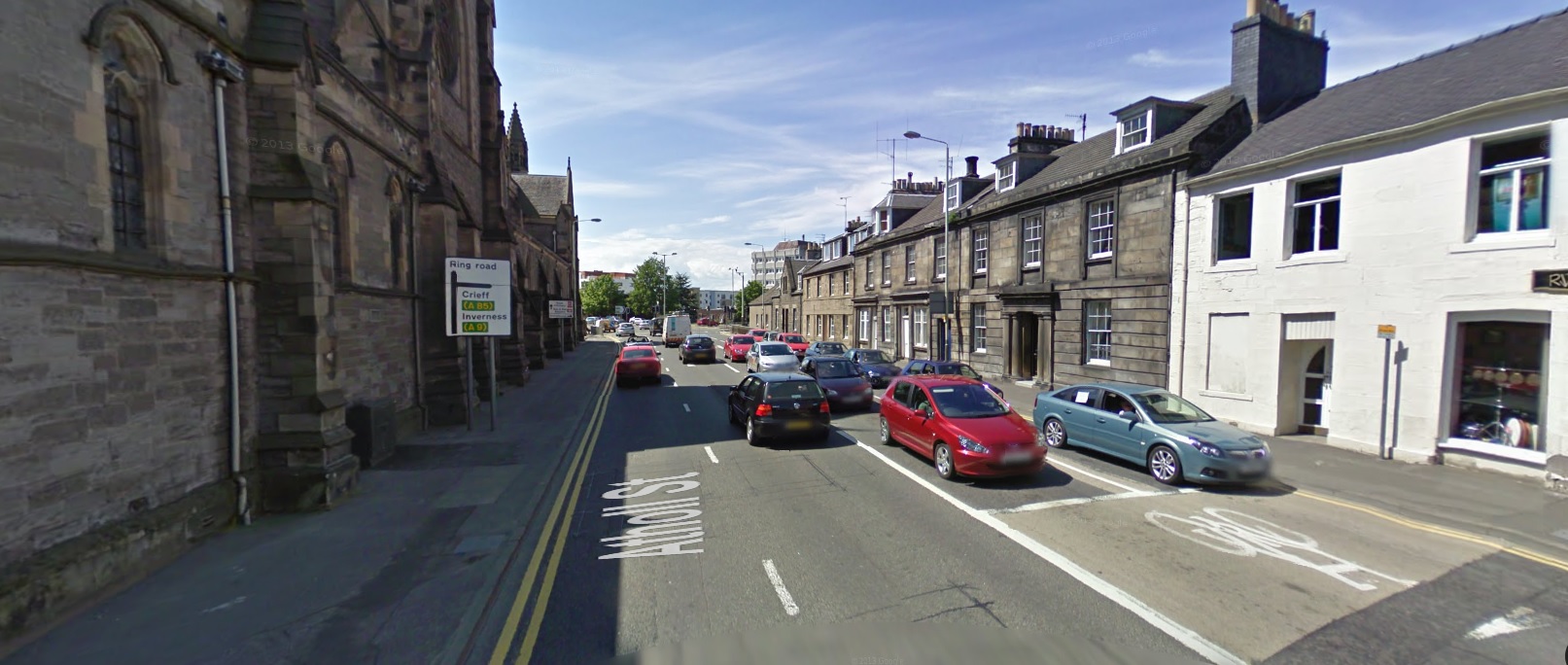
9. Atholl Streel, Perth (45 microgrammes nitrogen dioxide per cubic metre)
Image: Google Street View

10. Meadowside, Dundee (45 microgrammes nitrogen dioxide per cubic metre)
Image: Google Street View